Read the land.
Predict the game.
Provide land information and let our AI identify high-probability bedding, feeding, and roosting areas, natural travel corridors, and ideal ambush or stand locations—tailored to your species, season, terrain, and conditions.
Real Terrain. Real Predictions.
Get species-specific strategies in minutes.
Game Tracts does the legwork before you ever set foot on the ground. Drop a boundary on any WMA, national forest, or state land and get a full breakdown — bedding, feeding, pinch points, and stand setups — based on real terrain and species behavior.
A fresh set of AI eyes sees corridors, thermals, and travel routes you might have walked past for years. Use Game Tracts to spot overlooked opportunities, fine-tune stand locations, and squeeze more out of every acre you hunt.
What Your Report Looks Like
Drop in your property boundary — GIS satellite data, USDA soil surveys, and species behavior models do the rest.
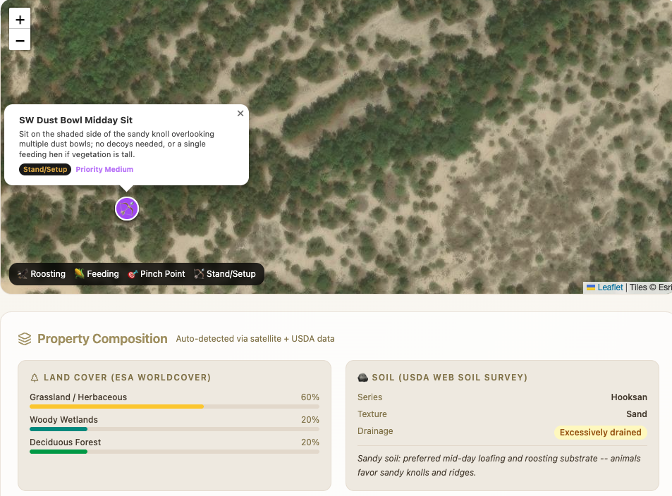
Coarse glacial outwash sand drains instantly — turkeys favor dry pine barrens edges and bog margins for strutting and scratching.
Mature hemlock and hardwood timber on the slightly elevated north bench overlooks the wet flat below — a classic secure roost. Turkeys favor perching over damp bottoms with quick access to dry spines at fly-down. Whitewash and feathers confirm annual use.
Every report includes an interactive map with AI hotspots, full property composition, and a species-specific strategy — in a few minutes.
Analyze Your PropertyIntelligence
What the AI Predicts
Decades of hunting knowledge, compressed into seconds.
Process
Three Steps to Smarter Hunting
Sign up & use for free.
We've got a long way to climb — sign up and use Game Tracts for free while we keep pushing the output further. No credit card, no commitment.
Create Free AccountGet Started
Ready to see what the land is hiding?
Join hunters who are hunting smarter, not harder.
Analyze LandFree during beta · No credit card required · Limited time
Contact Us
How can we help?
Reach out with questions, feedback, or partnership inquiries — we're out here.